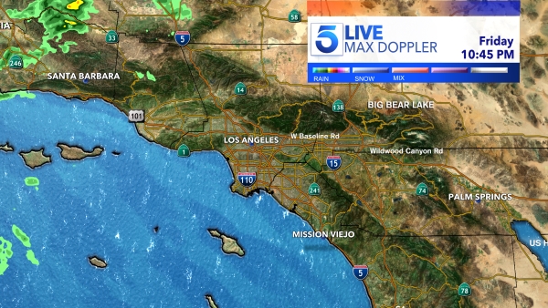
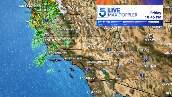
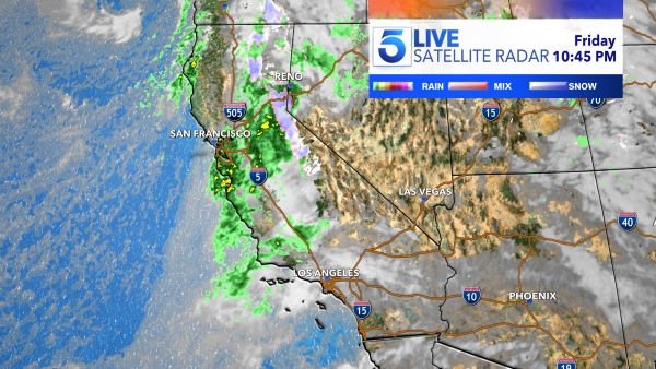
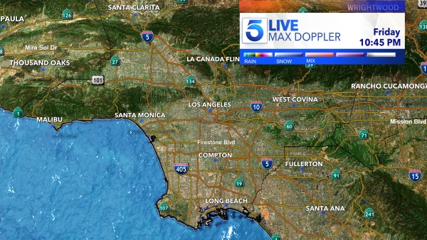
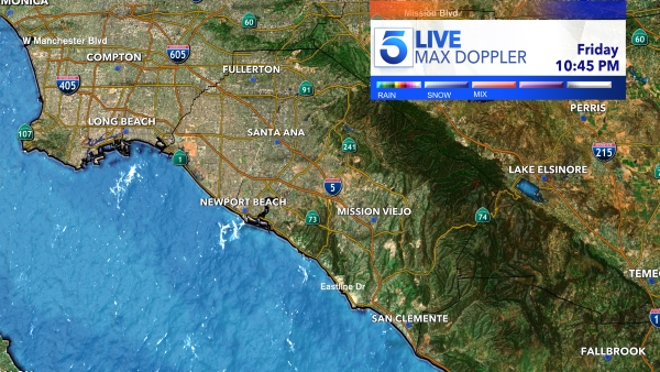
Residents were asked to seek shelter as a severe thunderstorm warning was issued for Los Angeles and Ventura counties Friday night.
The thunderstorm was expected to bring heavy downpours, gusty winds of up to 60 miles per hour, possible hail and dangerous lightning, according to the National Weather Service.
The strongest portions of the thunderstorm lasted through 7 p.m. where hail ranging from pea-sized to quarter-sized were seen in some cities. Dangerous, stormy weather may continue throughout the night.
In the East L.A., El Monte and Downey area, threats of a tornado were possible, said NWS.
During the storm, damage to roofs, siding, and trees remained a threat, officials said.
Residents were advised to seek shelter, avoid any flooded roadways, bring their pets safely inside and to stay away from any downed trees and power lines.


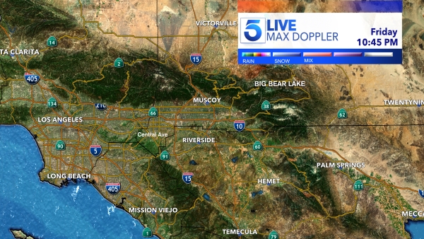
A winter storm warning remains in effect for areas above 5,500 feet in elevation. The warning will last through Sunday, March 17 for mountain communities in San Bernardino and Riverside counties.
Periods of heavy snow will cover the area. Snowfall of 1-3 inches is expected at elevations between 5,500-7,000 feet and around 4-7 inches in communities above 7,000 feet.
“Travel could be very difficult,” NWS said. The hazardous conditions could impact the morning or evening commute. There may be breaks in the snow at times, but more consistent snow showers are expected tonight into early Saturday and again Saturday afternoon into Sunday night. Cold overnight lows on Sunday morning may create icy road conditions.”
Anyone planning to travel to higher elevations is advised to keep an extra flashlight, food, and water in their vehicle in case of an emergency.
The destruction across the Southland brought on by hailstorms, blustery winds and threatening landslides can be seen in the video player above.